Pasture and trees north-east of High Lane, Cheshire
Introduction
The photograph on this page of Pasture and trees north-east of High Lane, Cheshire by Roger Kidd as part of the Geograph project.
The Geograph project started in 2005 with the aim of publishing, organising and preserving representative images for every square kilometre of Great Britain, Ireland and the Isle of Man.

There are currently over 7.5m images from over 14,400 individuals and you can help contribute to the project by visiting https://www.geograph.org.uk
Pasture and trees north-east of High Lane, Cheshire
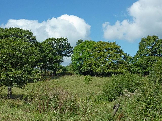
Image: © Roger Kidd Taken: 7 Sep 2014
Farm land by Slack Hall Farm, seen from the Upper Peak Canal at Turflea Narrows.
Images are licensed for reuse under creativecommons.org/licenses/by-sa/2.0
Image Location
Latitude
53.37319
Longitude
-2.048659