Field next to Broughton Evangelical Church
Introduction
The photograph on this page of Field next to Broughton Evangelical Church by Bill Boaden as part of the Geograph project.
The Geograph project started in 2005 with the aim of publishing, organising and preserving representative images for every square kilometre of Great Britain, Ireland and the Isle of Man.

There are currently over 7.5m images from over 14,400 individuals and you can help contribute to the project by visiting https://www.geograph.org.uk
Field next to Broughton Evangelical Church
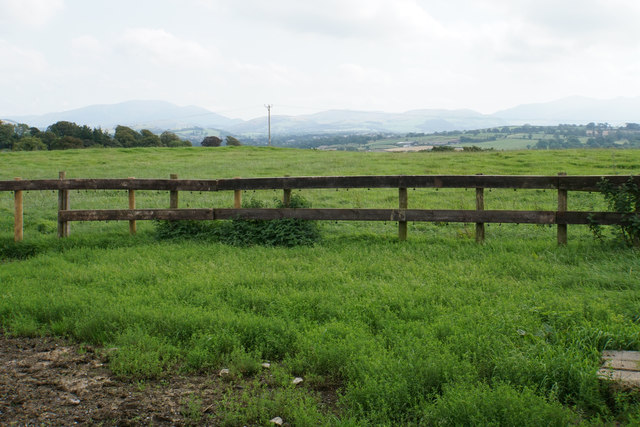
Image: © Bill Boaden Taken: 27 Aug 2019
There is a view towards Lake District fells though they are not very clear on this day.
Images are licensed for reuse under creativecommons.org/licenses/by-sa/2.0
Image Location
Latitude
54.672361
Longitude
-3.430457