Dokes Field
Introduction
The photograph on this page of Dokes Field by Simon Carey as part of the Geograph project.
The Geograph project started in 2005 with the aim of publishing, organising and preserving representative images for every square kilometre of Great Britain, Ireland and the Isle of Man.

There are currently over 7.5m images from over 14,400 individuals and you can help contribute to the project by visiting https://www.geograph.org.uk
Dokes Field
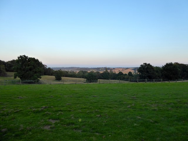
Image: © Simon Carey Taken: 26 Aug 2019
Current name of the field that is used by Bodiam Primary School. According to Bodiam's 1839 tithe map this was part of a larger field called Outer Dokes Field.
Images are licensed for reuse under creativecommons.org/licenses/by-sa/2.0
Image Location
Latitude
51.004521
Longitude
0.538817