Bottom of Stone Row, Grange Villa
Introduction
The photograph on this page of Bottom of Stone Row, Grange Villa by Robert Graham as part of the Geograph project.
The Geograph project started in 2005 with the aim of publishing, organising and preserving representative images for every square kilometre of Great Britain, Ireland and the Isle of Man.

There are currently over 7.5m images from over 14,400 individuals and you can help contribute to the project by visiting https://www.geograph.org.uk
Bottom of Stone Row, Grange Villa
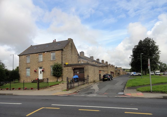
Image: © Robert Graham Taken: 12 Aug 2019
This is the south end of the street, where it joins Pelton Lane, the main street through the village. Stone Row was the first street to be built here, for the miners of West Pelton Colliery in the fourth quarter of the C19. In the early years of the C20, it was joined by further rows of miners houses, these being brick built.
Images are licensed for reuse under creativecommons.org/licenses/by-sa/2.0
Image Location
Latitude
54.861617
Longitude
-1.638388