Brodick Pier
Introduction
The photograph on this page of Brodick Pier by Graeme Yuill as part of the Geograph project.
The Geograph project started in 2005 with the aim of publishing, organising and preserving representative images for every square kilometre of Great Britain, Ireland and the Isle of Man.

There are currently over 7.5m images from over 14,400 individuals and you can help contribute to the project by visiting https://www.geograph.org.uk
Brodick Pier
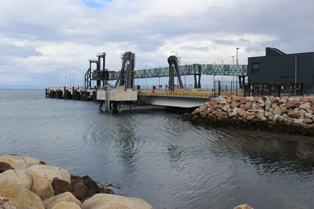
Image: © Graeme Yuill Taken: 3 Jun 2019
The new pier and ferry terminal was completed in 2017.
Images are licensed for reuse under creativecommons.org/licenses/by-sa/2.0
Image Location
Latitude
55.577472
Longitude
-5.135906