Dyffryn Arms
Introduction
The photograph on this page of Dyffryn Arms by Alan Hughes as part of the Geograph project.
The Geograph project started in 2005 with the aim of publishing, organising and preserving representative images for every square kilometre of Great Britain, Ireland and the Isle of Man.

There are currently over 7.5m images from over 14,400 individuals and you can help contribute to the project by visiting https://www.geograph.org.uk
Dyffryn Arms
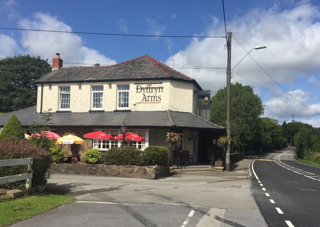
Image: © Alan Hughes Taken: 15 Aug 2019
Public House on the A474 between Neath and Pontardawe.
Images are licensed for reuse under creativecommons.org/licenses/by-sa/2.0
Image Location
Latitude
51.692969
Longitude
-3.822329