Mounting stone?
Introduction
The photograph on this page of Mounting stone? by Leanmeanmo as part of the Geograph project.
The Geograph project started in 2005 with the aim of publishing, organising and preserving representative images for every square kilometre of Great Britain, Ireland and the Isle of Man.

There are currently over 7.5m images from over 14,400 individuals and you can help contribute to the project by visiting https://www.geograph.org.uk
Mounting stone?
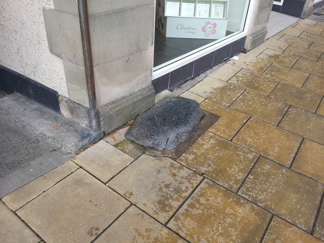
Image: © Leanmeanmo Taken: 20 May 2017
On the main street immediately on the left of the exit from the Turk's Head Yard. Has it been cropped since it was in its heyday or has the pavement that has been carefully designed around it risen considerably? One wonders how much longer it will survive.
Images are licensed for reuse under creativecommons.org/licenses/by-sa/2.0
Image Location
Latitude
55.16729
Longitude
-1.689943