Gwerthonor Road, Pengam
Introduction
The photograph on this page of Gwerthonor Road, Pengam by Jaggery as part of the Geograph project.
The Geograph project started in 2005 with the aim of publishing, organising and preserving representative images for every square kilometre of Great Britain, Ireland and the Isle of Man.

There are currently over 7.5m images from over 14,400 individuals and you can help contribute to the project by visiting https://www.geograph.org.uk
Gwerthonor Road, Pengam
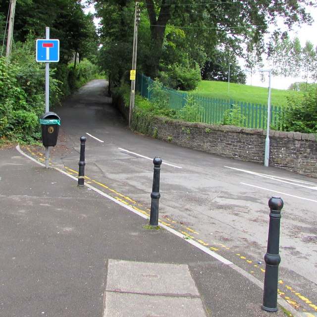
Image: © Jaggery Taken: 7 Aug 2019
Dead-end road on the north side of the B4254.
Images are licensed for reuse under creativecommons.org/licenses/by-sa/2.0
Image Location
Latitude
51.671463
Longitude
-3.228103