B4364 at Cross Houses
Introduction
The photograph on this page of B4364 at Cross Houses by Derek Harper as part of the Geograph project.
The Geograph project started in 2005 with the aim of publishing, organising and preserving representative images for every square kilometre of Great Britain, Ireland and the Isle of Man.

There are currently over 7.5m images from over 14,400 individuals and you can help contribute to the project by visiting https://www.geograph.org.uk
B4364 at Cross Houses
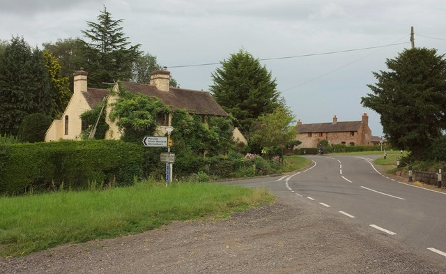
Image: © Derek Harper Taken: 26 Jul 2019
A double bend as the B road passes turns to Morville (left) and Glazely. On the left is The Old Smithy.
Images are licensed for reuse under creativecommons.org/licenses/by-sa/2.0
Image Location
Latitude
52.523493
Longitude
-2.449044