Path to Castlehead
Introduction
The photograph on this page of Path to Castlehead by Bill Boaden as part of the Geograph project.
The Geograph project started in 2005 with the aim of publishing, organising and preserving representative images for every square kilometre of Great Britain, Ireland and the Isle of Man.

There are currently over 7.5m images from over 14,400 individuals and you can help contribute to the project by visiting https://www.geograph.org.uk
Path to Castlehead
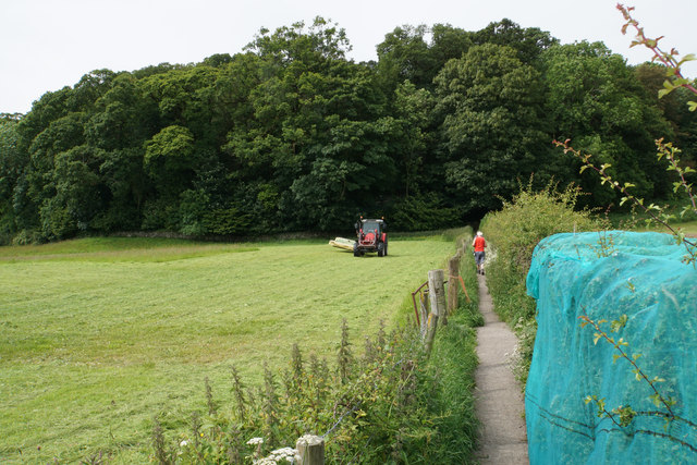
Image: © Bill Boaden Taken: 23 Jun 2019
Access to this small wooded hill from Springs Road. The netting apparently helps the Keswick Flood Alleviation Scheme, but I am not quite sure how.
Images are licensed for reuse under creativecommons.org/licenses/by-sa/2.0
Image Location
Latitude
54.5961
Longitude
-3.128739