Steep field at Taddiport
Introduction
The photograph on this page of Steep field at Taddiport by Derek Harper as part of the Geograph project.
The Geograph project started in 2005 with the aim of publishing, organising and preserving representative images for every square kilometre of Great Britain, Ireland and the Isle of Man.

There are currently over 7.5m images from over 14,400 individuals and you can help contribute to the project by visiting https://www.geograph.org.uk
Steep field at Taddiport
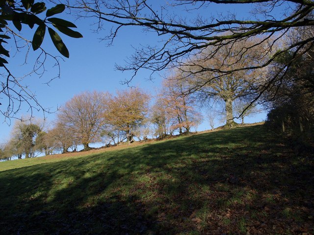
Image: © Derek Harper Taken: 23 Nov 2007
The field, with its sunny line of trees along the top field boundary, climbs a side valley of the Venn, and is seen from the start of the driveway to Taddiport, near its junction with the Tarka Trail and the Macmillan Way West.
Images are licensed for reuse under creativecommons.org/licenses/by-sa/2.0
Image Location
Latitude
51.067991
Longitude
-3.933548