Balornock - Stobhill Ahead
Introduction
The photograph on this page of Balornock - Stobhill Ahead by Raymond Okonski as part of the Geograph project.
The Geograph project started in 2005 with the aim of publishing, organising and preserving representative images for every square kilometre of Great Britain, Ireland and the Isle of Man.

There are currently over 7.5m images from over 14,400 individuals and you can help contribute to the project by visiting https://www.geograph.org.uk
Balornock - Stobhill Ahead
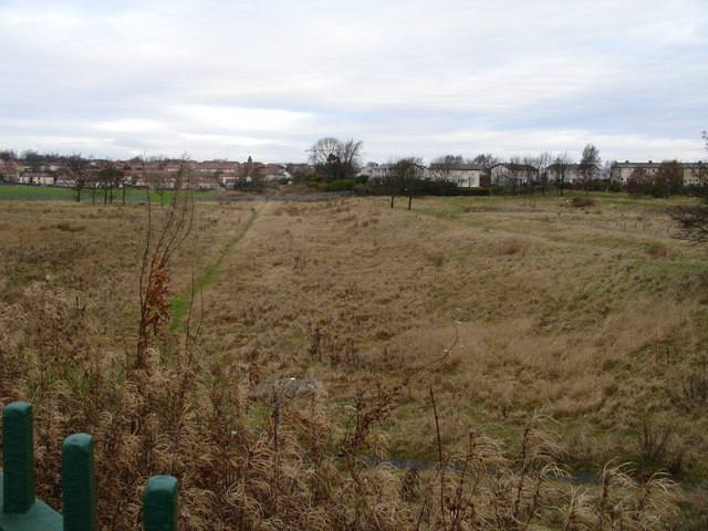
Image: © Raymond Okonski Taken: 25 Nov 2007
Looking along the trackbed of the old goods line that connected Robroyston with Stobhill and Possil (where passenger services on the line commenced). In the distance can be seen the Stobhill Hospital clock tower, and the track route can still be followed on foot (although most of the bridges over and under have been removed). The green fencing in the foreground are on the pavement of Broomfield Road.
Images are licensed for reuse under creativecommons.org/licenses/by-sa/2.0
Image Location
Latitude
55.884442
Longitude
-4.21117