Grand Union Canal and River Brent
Introduction
The photograph on this page of Grand Union Canal and River Brent by Robin Webster as part of the Geograph project.
The Geograph project started in 2005 with the aim of publishing, organising and preserving representative images for every square kilometre of Great Britain, Ireland and the Isle of Man.

There are currently over 7.5m images from over 14,400 individuals and you can help contribute to the project by visiting https://www.geograph.org.uk
Grand Union Canal and River Brent
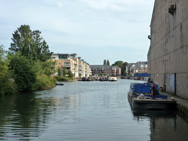
Image: © Robin Webster Taken: 9 Sep 2012
The river and canal are the same thing in the foreground. Straight ahead the canal heads for Brentford Gauging Locks, the natural river swings left just before the modern flats in the left.
Images are licensed for reuse under creativecommons.org/licenses/by-sa/2.0
Image Location
Latitude
51.48467
Longitude
-0.312926