Stratford-upon-Avon Old Town railway station (site), Warwickshire
Introduction
The photograph on this page of Stratford-upon-Avon Old Town railway station (site), Warwickshire by Nigel Thompson as part of the Geograph project.
The Geograph project started in 2005 with the aim of publishing, organising and preserving representative images for every square kilometre of Great Britain, Ireland and the Isle of Man.

There are currently over 7.5m images from over 14,400 individuals and you can help contribute to the project by visiting https://www.geograph.org.uk
Stratford-upon-Avon Old Town railway station (site), Warwickshire
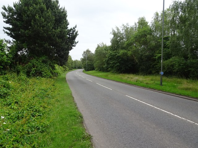
Image: © Nigel Thompson Taken: 19 Jun 2019
Opened in 1873 by the Stratford-upon-Avon & Midland Junction Railway on the line from Stratford to Towcester, this station closed to passengers in 1952 and completely in 1965. View east towards Ettington and Towcester. No trace remains.
Images are licensed for reuse under creativecommons.org/licenses/by-sa/2.0
Image Location
Latitude
52.184073
Longitude
-1.710503