Westgate Street, Gloucester
Introduction
The photograph on this page of Westgate Street, Gloucester by David Stowell as part of the Geograph project.
The Geograph project started in 2005 with the aim of publishing, organising and preserving representative images for every square kilometre of Great Britain, Ireland and the Isle of Man.

There are currently over 7.5m images from over 14,400 individuals and you can help contribute to the project by visiting https://www.geograph.org.uk
Westgate Street, Gloucester
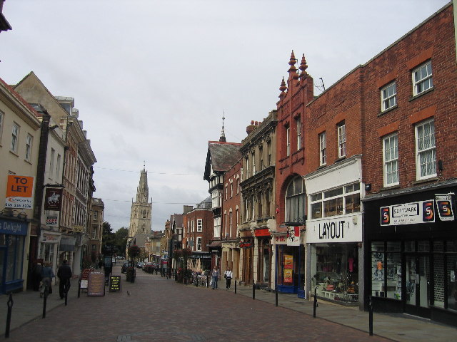
Image: © David Stowell Taken: 2 Oct 2005
Looking west along Westgate Street from near the cross. Part of the frontage of the Shire hall can be seen protruding on the left. College Street, leading up to the Cathedral, is to the right just beyond the tall black and white building. The church tower is that of St Nicholas - for more information see http://www.sacred-destinations.com/england/gloucester-st-nicholas-church.htm
Images are licensed for reuse under creativecommons.org/licenses/by-sa/2.0
Image Location
Latitude
51.86482
Longitude
-2.246834