Old boundary marker on Saughall Road
Introduction
The photograph on this page of Old boundary marker on Saughall Road by JThomas as part of the Geograph project.
The Geograph project started in 2005 with the aim of publishing, organising and preserving representative images for every square kilometre of Great Britain, Ireland and the Isle of Man.

There are currently over 7.5m images from over 14,400 individuals and you can help contribute to the project by visiting https://www.geograph.org.uk
Old boundary marker on Saughall Road
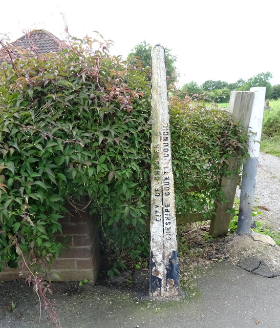
Image: © JThomas Taken: 15 Jun 2019
Inscription reads:- CITY OF CHESTER / CHESHIRE COUNTY COUNCIL
Images are licensed for reuse under creativecommons.org/licenses/by-sa/2.0
Image Location
Latitude
53.208893
Longitude
-2.936068