Structure at Mill Street, Caledon
Introduction
The photograph on this page of Structure at Mill Street, Caledon by Kenneth Allen as part of the Geograph project.
The Geograph project started in 2005 with the aim of publishing, organising and preserving representative images for every square kilometre of Great Britain, Ireland and the Isle of Man.

There are currently over 7.5m images from over 14,400 individuals and you can help contribute to the project by visiting https://www.geograph.org.uk
Structure at Mill Street, Caledon
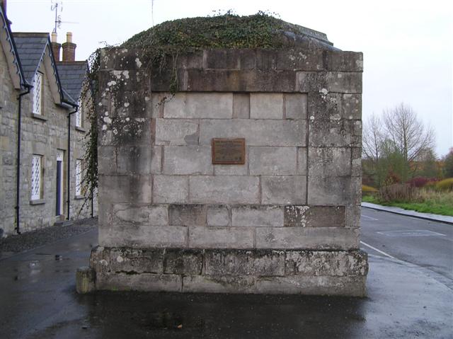
Image: © Kenneth Allen Taken: 21 Nov 2007
Located at the lower end of the village - this could was the base of a chimney that was otherwise demolished Pictured here Image]
Images are licensed for reuse under creativecommons.org/licenses/by-sa/2.0
Image Location


Leaflet Map data © OpenStreetMap
Latitude
54.349873
Longitude
-6.83505