Development works at Home Farm, Glevering
Introduction
The photograph on this page of Development works at Home Farm, Glevering by Simon Mortimer as part of the Geograph project.
The Geograph project started in 2005 with the aim of publishing, organising and preserving representative images for every square kilometre of Great Britain, Ireland and the Isle of Man.

There are currently over 7.5m images from over 14,400 individuals and you can help contribute to the project by visiting https://www.geograph.org.uk
Development works at Home Farm, Glevering
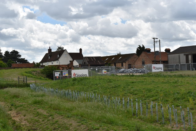
Image: © Simon Mortimer Taken: 27 May 2019
Viewed from the road towards Easton. Glevering House, the former farmhouse, sits just above the farmyard.
Images are licensed for reuse under creativecommons.org/licenses/by-sa/2.0
Image Location
Latitude
52.171072
Longitude
1.3482