Lancing, Crabtree Inn
Introduction
The photograph on this page of Lancing, Crabtree Inn by Mike Faherty as part of the Geograph project.
The Geograph project started in 2005 with the aim of publishing, organising and preserving representative images for every square kilometre of Great Britain, Ireland and the Isle of Man.

There are currently over 7.5m images from over 14,400 individuals and you can help contribute to the project by visiting https://www.geograph.org.uk
Lancing, Crabtree Inn
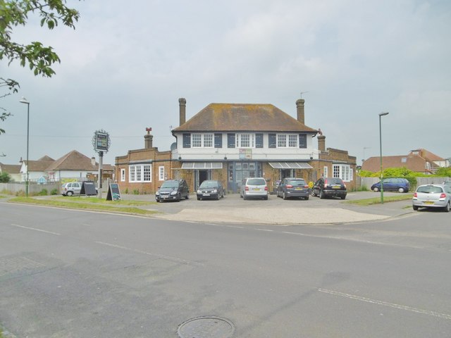
Image: © Mike Faherty Taken: 18 May 2019
1930s public house on Crabtree Lane. Back counter with eating and drinking in three areas left, front and right. Period features of plaster mouldings and woodwork; TV, games machines, pool, table football and jukebox; garden with play area. Cask ales on offer: Black Sheep Bitter, Fuller's ESB, Sharp's Doom Bar.
Images are licensed for reuse under creativecommons.org/licenses/by-sa/2.0
Image Location
Latitude
50.832376
Longitude
-0.3286