Poultry house near Netherhirst Farm
Introduction
The photograph on this page of Poultry house near Netherhirst Farm by Oliver Dixon as part of the Geograph project.
The Geograph project started in 2005 with the aim of publishing, organising and preserving representative images for every square kilometre of Great Britain, Ireland and the Isle of Man.

There are currently over 7.5m images from over 14,400 individuals and you can help contribute to the project by visiting https://www.geograph.org.uk
Poultry house near Netherhirst Farm
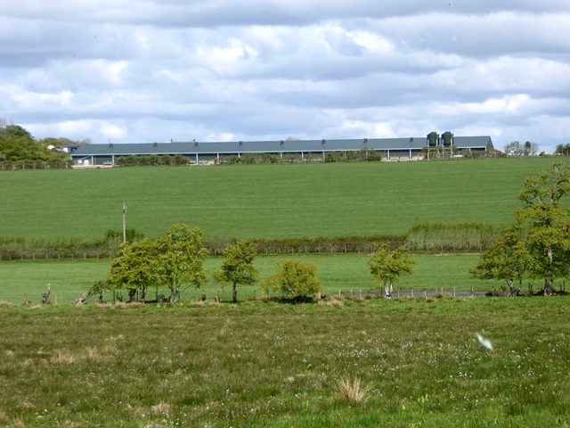
Image: © Oliver Dixon Taken: 10 May 2019
This enormous free-range egg laying unit stands on the road between Hemplands and Netherhirst Farm. It is of very recent construction as it does not appear on the map as yet (planning permission was only granted in September 2017).
Images are licensed for reuse under creativecommons.org/licenses/by-sa/2.0
Image Location
Latitude
55.046936
Longitude
-2.858724