Cattle feeding above Kiberick Cove
Introduction
The photograph on this page of Cattle feeding above Kiberick Cove by Simon Mortimer as part of the Geograph project.
The Geograph project started in 2005 with the aim of publishing, organising and preserving representative images for every square kilometre of Great Britain, Ireland and the Isle of Man.

There are currently over 7.5m images from over 14,400 individuals and you can help contribute to the project by visiting https://www.geograph.org.uk
Cattle feeding above Kiberick Cove
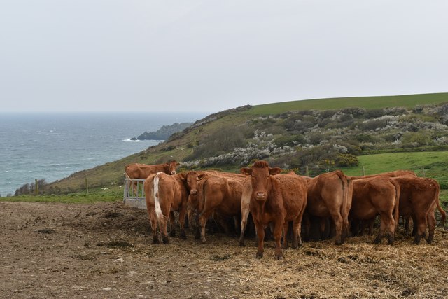
Image: © Simon Mortimer Taken: 13 Apr 2019
Looking south from the lane to Nare Head near Pennare Wallis (Lower Pennare in Cornish, distinct from Pennare Wartha, or Upper Pennare, further up the lane). Gull Rock Image can be seen off the coast of Nare Head in the background.
Images are licensed for reuse under creativecommons.org/licenses/by-sa/2.0
Image Location
Latitude
50.206059
Longitude
-4.914313