Greenhead Bank
Introduction
The photograph on this page of Greenhead Bank by Ben Kendall as part of the Geograph project.
The Geograph project started in 2005 with the aim of publishing, organising and preserving representative images for every square kilometre of Great Britain, Ireland and the Isle of Man.

There are currently over 7.5m images from over 14,400 individuals and you can help contribute to the project by visiting https://www.geograph.org.uk
Greenhead Bank
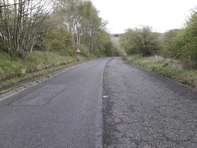
Image: © Ben Kendall Taken: 3 May 2019
Looking down the bank towards Greenhead. This used to be the A69 until the village was bypassed in the 1980s.
Images are licensed for reuse under creativecommons.org/licenses/by-sa/2.0
Image Location
Latitude
54.98192
Longitude
-2.537792