West Portholland Cove from the coast path
Introduction
The photograph on this page of West Portholland Cove from the coast path by Simon Mortimer as part of the Geograph project.
The Geograph project started in 2005 with the aim of publishing, organising and preserving representative images for every square kilometre of Great Britain, Ireland and the Isle of Man.

There are currently over 7.5m images from over 14,400 individuals and you can help contribute to the project by visiting https://www.geograph.org.uk
West Portholland Cove from the coast path
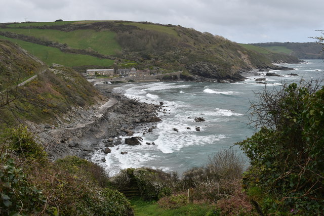
Image: © Simon Mortimer Taken: 7 Apr 2019
Looking east from the coast path near Perbargus Point. In the middle distance is East Portholland Cove and the houses of East Portholland.
Images are licensed for reuse under creativecommons.org/licenses/by-sa/2.0
Image Location
Latitude
50.234739
Longitude
-4.864311