River Colne near Stadium Way
Introduction
The photograph on this page of River Colne near Stadium Way by Mark Anderson as part of the Geograph project.
The Geograph project started in 2005 with the aim of publishing, organising and preserving representative images for every square kilometre of Great Britain, Ireland and the Isle of Man.

There are currently over 7.5m images from over 14,400 individuals and you can help contribute to the project by visiting https://www.geograph.org.uk
River Colne near Stadium Way
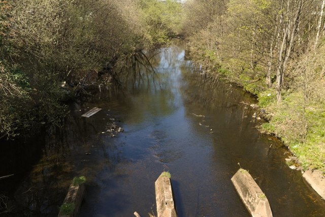
Image: © Mark Anderson Taken: 20 Apr 2019
I am unsure what the supports in the foreground were used for. Perhaps electricity or gas? Further along the river on the right-hand side, there is a stone support for an old bridge shown on the Ordnance Survey Six Inch 1888 - 1913 map.
Images are licensed for reuse under creativecommons.org/licenses/by-sa/2.0
Image Location
Latitude
53.652253
Longitude
-1.772114