Old Toll House, Burcotgate
Introduction
The photograph on this page of Old Toll House, Burcotgate by Milestone Society as part of the Geograph project.
The Geograph project started in 2005 with the aim of publishing, organising and preserving representative images for every square kilometre of Great Britain, Ireland and the Isle of Man.

There are currently over 7.5m images from over 14,400 individuals and you can help contribute to the project by visiting https://www.geograph.org.uk
Old Toll House, Burcotgate
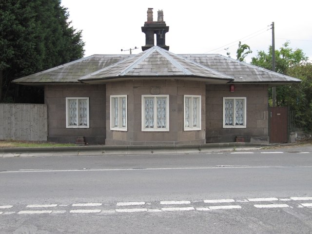
Image: © Milestone Society Taken: Unknown
Toll House by the B5061, Umbrella House or The Round House, No. 1, Burcotgate, Roman Road. Grade II listed. List Entry Number: 1210173 https://historicengland.org.uk/listing/the-list/list-entry/1210173 Surveyed Milestone Society National ID: SA.WRW
Images are licensed for reuse under creativecommons.org/licenses/by-sa/2.0
Image Location
Latitude
52.69212
Longitude
-2.565497