Brawby Lane
Introduction
The photograph on this page of Brawby Lane by Gordon Hatton as part of the Geograph project.
The Geograph project started in 2005 with the aim of publishing, organising and preserving representative images for every square kilometre of Great Britain, Ireland and the Isle of Man.

There are currently over 7.5m images from over 14,400 individuals and you can help contribute to the project by visiting https://www.geograph.org.uk
Brawby Lane
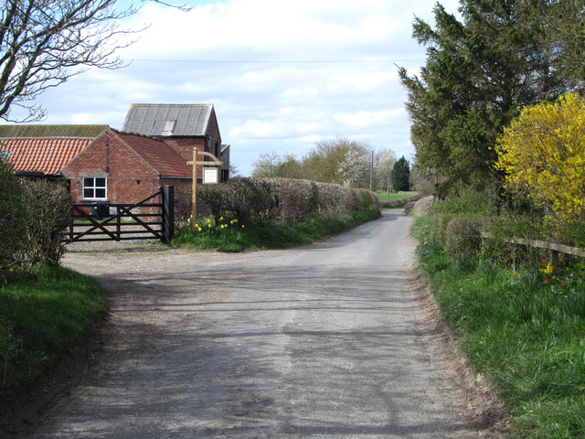
Image: © Gordon Hatton Taken: 31 Mar 2019
The lane at the point where it passes the entrance to Brawby Lane Farm. One curious feature here is the footpath which is shown on the OS map as running close to and parallel with the road on the north side. A check on NYCC's official map confirms that the path is in 3 different parts, none of which appear to be accessible, whilst the only FP sign seen was adjacent to a padlocked gate. If one were bold enough to try and walk the path it would appear that there would be fights with hedges and fences, not to mention walking across front gardens and possibly through a greenhouse and barn.
Images are licensed for reuse under creativecommons.org/licenses/by-sa/2.0
Image Location
Latitude
54.198523
Longitude
-0.89386