Rail line between Stonehaven and Laurencekirk
Introduction
The photograph on this page of Rail line between Stonehaven and Laurencekirk by Stanley Howe as part of the Geograph project.
The Geograph project started in 2005 with the aim of publishing, organising and preserving representative images for every square kilometre of Great Britain, Ireland and the Isle of Man.

There are currently over 7.5m images from over 14,400 individuals and you can help contribute to the project by visiting https://www.geograph.org.uk
Rail line between Stonehaven and Laurencekirk
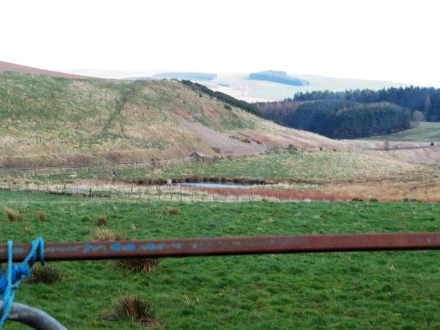
Image: © Stanley Howe Taken: 29 Mar 2019
Following Bog Burn and its pools. Viewed from minor road near Little Bogburn.
Images are licensed for reuse under creativecommons.org/licenses/by-sa/2.0
Image Location
Latitude
56.930963
Longitude
-2.349132