Wester and Easter Templand
Introduction
The photograph on this page of Wester and Easter Templand by valenta as part of the Geograph project.
The Geograph project started in 2005 with the aim of publishing, organising and preserving representative images for every square kilometre of Great Britain, Ireland and the Isle of Man.

There are currently over 7.5m images from over 14,400 individuals and you can help contribute to the project by visiting https://www.geograph.org.uk
Wester and Easter Templand
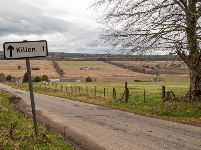
Image: © valenta Taken: 26 Mar 2019
The road from Killen to Avoch/Fortrose drops down a natural valley, Wester Templand is in the valley on the left and Wester Templand to the right
Images are licensed for reuse under creativecommons.org/licenses/by-sa/2.0
Image Location
Latitude
57.584332
Longitude
-4.187876