Ings Lane in Spaldington
Introduction
The photograph on this page of Ings Lane in Spaldington by Martin Dawes as part of the Geograph project.
The Geograph project started in 2005 with the aim of publishing, organising and preserving representative images for every square kilometre of Great Britain, Ireland and the Isle of Man.

There are currently over 7.5m images from over 14,400 individuals and you can help contribute to the project by visiting https://www.geograph.org.uk
Ings Lane in Spaldington
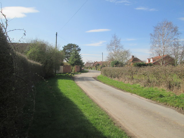
Image: © Martin Dawes Taken: 20 Mar 2019
The Howden 20 long distance footpath crosses the lane here, the finger post can be seen at the end of the hedge on the right.
Images are licensed for reuse under creativecommons.org/licenses/by-sa/2.0
Image Location
Latitude
53.79339
Longitude
-0.842455