Old Boundary Marker by Hollow Way, Bridport
Introduction
The photograph on this page of Old Boundary Marker by Hollow Way, Bridport by Milestone Society as part of the Geograph project.
The Geograph project started in 2005 with the aim of publishing, organising and preserving representative images for every square kilometre of Great Britain, Ireland and the Isle of Man.

There are currently over 7.5m images from over 14,400 individuals and you can help contribute to the project by visiting https://www.geograph.org.uk
Old Boundary Marker by Hollow Way, Bridport
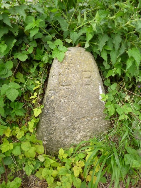
Image: © Milestone Society Taken: Unknown
Parish Boundary Marker by the UC road, in parish of Bridport (West Dorset District), Hollow Way, opposite junction with Lansdowne Road, on embankment. Inscription reads:- L B Surveyed Milestone Society National ID: DO_BRID02pb
Images are licensed for reuse under creativecommons.org/licenses/by-sa/2.0
Image Location
Latitude
50.724814
Longitude
-2.755018