East side of Machen Church Hall
Introduction
The photograph on this page of East side of Machen Church Hall by Jaggery as part of the Geograph project.
The Geograph project started in 2005 with the aim of publishing, organising and preserving representative images for every square kilometre of Great Britain, Ireland and the Isle of Man.

There are currently over 7.5m images from over 14,400 individuals and you can help contribute to the project by visiting https://www.geograph.org.uk
East side of Machen Church Hall
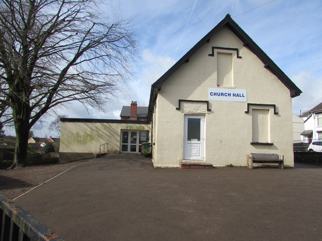
Image: © Jaggery Taken: 14 Mar 2019
Forge Road side of the hall on the corner of the A468 Commercial Road in Machen. The building was originally Machen and Waenfawr United District Board School erected in 1893. https://www.geograph.org.uk/photo/6087295
Images are licensed for reuse under creativecommons.org/licenses/by-sa/2.0
Image Location
Latitude
51.595913
Longitude
-3.141028