Waterlogged Field at Waterditch
Introduction
The photograph on this page of Waterlogged Field at Waterditch by Nigel Mykura as part of the Geograph project.
The Geograph project started in 2005 with the aim of publishing, organising and preserving representative images for every square kilometre of Great Britain, Ireland and the Isle of Man.

There are currently over 7.5m images from over 14,400 individuals and you can help contribute to the project by visiting https://www.geograph.org.uk
Waterlogged Field at Waterditch
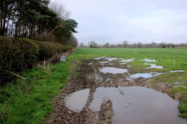
Image: © Nigel Mykura Taken: 6 Mar 2019
This field is just next to the minor road from Waterditch to Burton. On the left is a strip of pine trees of which there are several in the area located between fields. These are relatively recent as they do not appear on the maps of c.1898
Images are licensed for reuse under creativecommons.org/licenses/by-sa/2.0
Image Location
Latitude
50.761777
Longitude
-1.742045