Old Boundary Marker by the A1114, Princes Road, Chelmsford
Introduction
The photograph on this page of Old Boundary Marker by the A1114, Princes Road, Chelmsford by Milestone Society as part of the Geograph project.
The Geograph project started in 2005 with the aim of publishing, organising and preserving representative images for every square kilometre of Great Britain, Ireland and the Isle of Man.

There are currently over 7.5m images from over 14,400 individuals and you can help contribute to the project by visiting https://www.geograph.org.uk
Old Boundary Marker by the A1114, Princes Road, Chelmsford
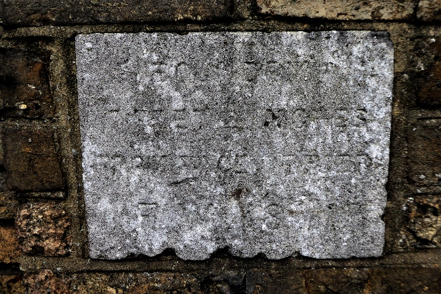
Image: © Milestone Society Taken: Unknown
Estate Boundary Marker by the A1114, in parish of Chelmsford (Chelmsford District), Princes Road opposite Tesco, on a rear brick garden wall of the Chelmsford & Essex Regiment Museum. Surveyed Milestone Society National ID: EX_CHEL01em
Images are licensed for reuse under creativecommons.org/licenses/by-sa/2.0
Image Location
Latitude
51.721709
Longitude
0.463183