Farmland and bridleway, East Hendred
Introduction
The photograph on this page of Farmland and bridleway, East Hendred by Andrew Smith as part of the Geograph project.
The Geograph project started in 2005 with the aim of publishing, organising and preserving representative images for every square kilometre of Great Britain, Ireland and the Isle of Man.

There are currently over 7.5m images from over 14,400 individuals and you can help contribute to the project by visiting https://www.geograph.org.uk
Farmland and bridleway, East Hendred
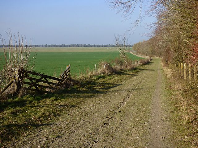
Image: © Andrew Smith Taken: 23 Feb 2019
The bridleway follows the edge of the Harwell Labs site, though here there is a buffer of youngish woodland.
Images are licensed for reuse under creativecommons.org/licenses/by-sa/2.0
Image Location
Latitude
51.574546
Longitude
-1.328678