Old Direction Sign - Signpost in Manaccan
Introduction
The photograph on this page of Old Direction Sign - Signpost in Manaccan by Milestone Society as part of the Geograph project.
The Geograph project started in 2005 with the aim of publishing, organising and preserving representative images for every square kilometre of Great Britain, Ireland and the Isle of Man.

There are currently over 7.5m images from over 14,400 individuals and you can help contribute to the project by visiting https://www.geograph.org.uk
Old Direction Sign - Signpost in Manaccan
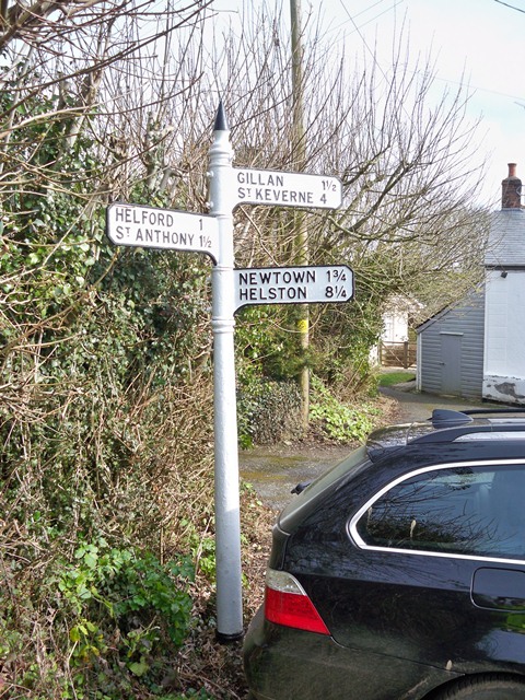
Image: © Milestone Society Taken: Unknown
Cone finial - 3 arms; by the unclassified road, in parish of Manaccan (Kerrier District), Manaccan churchtown. Grade II listed. List Entry Number: 1328610 https://historicengland.org.uk/listing/the-list/list-entry/1328610 Surveyed Milestone Society National ID: CW_SW7624B
Images are licensed for reuse under creativecommons.org/licenses/by-sa/2.0
Image Location
Latitude
50.082704
Longitude
-5.127655