A view from Coombe End, Clandown
Introduction
The photograph on this page of A view from Coombe End, Clandown by Neil Owen as part of the Geograph project.
The Geograph project started in 2005 with the aim of publishing, organising and preserving representative images for every square kilometre of Great Britain, Ireland and the Isle of Man.

There are currently over 7.5m images from over 14,400 individuals and you can help contribute to the project by visiting https://www.geograph.org.uk
A view from Coombe End, Clandown
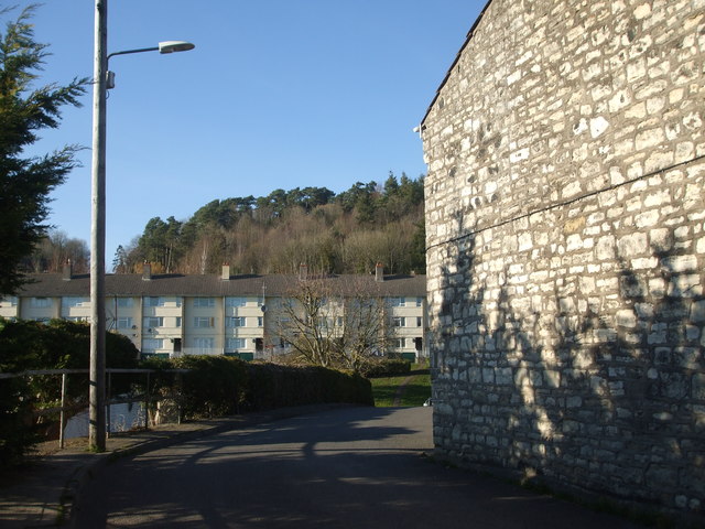
Image: © Neil Owen Taken: 25 Feb 2019
Contrasting housing: the later terracing (further off on Fosse Green) is clearly post-war, whereas the stone wall to the right is Old Pit Terrace. The latter refers to an old workings that used to be in front of the houses in the past. See Image] for a benchmark that can be found at the foot of the stone wall.
Images are licensed for reuse under creativecommons.org/licenses/by-sa/2.0
Image Location
Latitude
51.298907
Longitude
-2.455776