The Folly, Cerne Abbas
Introduction
The photograph on this page of The Folly, Cerne Abbas by Chris Heaton as part of the Geograph project.
The Geograph project started in 2005 with the aim of publishing, organising and preserving representative images for every square kilometre of Great Britain, Ireland and the Isle of Man.

There are currently over 7.5m images from over 14,400 individuals and you can help contribute to the project by visiting https://www.geograph.org.uk
The Folly, Cerne Abbas
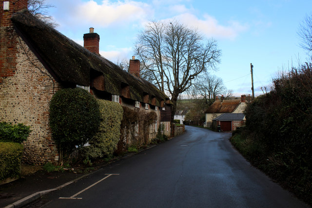
Image: © Chris Heaton Taken: 4 Feb 2019
The Folly is the name of this road that is heading east into the village of Cerne Abbas
Images are licensed for reuse under creativecommons.org/licenses/by-sa/2.0
Image Location
Latitude
50.808196
Longitude
-2.479508