Old Boundary Marker by Thorne Lane, Brympton parish
Introduction
The photograph on this page of Old Boundary Marker by Thorne Lane, Brympton parish by Milestone Society as part of the Geograph project.
The Geograph project started in 2005 with the aim of publishing, organising and preserving representative images for every square kilometre of Great Britain, Ireland and the Isle of Man.

There are currently over 7.5m images from over 14,400 individuals and you can help contribute to the project by visiting https://www.geograph.org.uk
Old Boundary Marker by Thorne Lane, Brympton parish
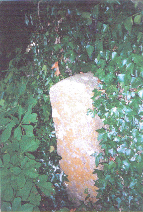
Image: © Milestone Society Taken: Unknown
Parish Boundary Marker by the UC road, in parish of Brympton (South Somerset District), Thorne Lane, West of junction with Western Ave, on verge surrounded by ivy and adjacent to large tree on North side of road. Surveyed Milestone Society National ID: SO_THOPPL01pb
Images are licensed for reuse under creativecommons.org/licenses/by-sa/2.0
Image Location
Latitude
50.95435
Longitude
-2.672926