Rear of Westow Hill, Upper Norwood, south London
Introduction
The photograph on this page of Rear of Westow Hill, Upper Norwood, south London by Robin Stott as part of the Geograph project.
The Geograph project started in 2005 with the aim of publishing, organising and preserving representative images for every square kilometre of Great Britain, Ireland and the Isle of Man.

There are currently over 7.5m images from over 14,400 individuals and you can help contribute to the project by visiting https://www.geograph.org.uk
Rear of Westow Hill, Upper Norwood, south London
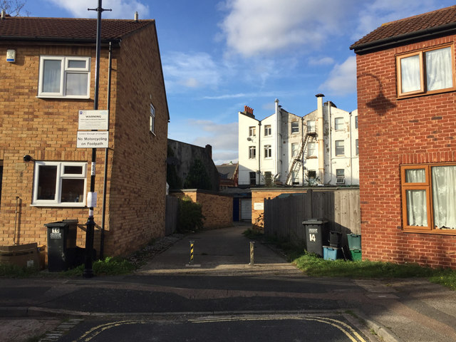
Image: © Robin Stott Taken: 8 Oct 2018
The view from Brunel Close, one of the network of paths and closes at the residential heart of the Crystal Palace triangle. The bollarded access leads to some lock-up garages.
Images are licensed for reuse under creativecommons.org/licenses/by-sa/2.0
Image Location
Latitude
51.419507
Longitude
-0.081181