Bridges at Clay Lane
Introduction
The photograph on this page of Bridges at Clay Lane by Ron Strutt as part of the Geograph project.
The Geograph project started in 2005 with the aim of publishing, organising and preserving representative images for every square kilometre of Great Britain, Ireland and the Isle of Man.

There are currently over 7.5m images from over 14,400 individuals and you can help contribute to the project by visiting https://www.geograph.org.uk
Bridges at Clay Lane
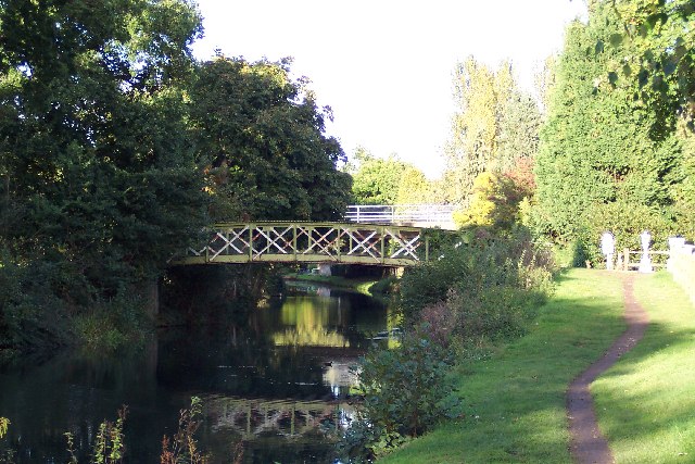
Image: © Ron Strutt Taken: 2 Oct 2005
Clay Lane, connecting Burpham with Jacobs Well and, ultimately, Woking, used to cross the Wey Navigation on the slender bridge in the foreground. It was not until the late 1970s that the road was diverted as part of the A3 bypass scheme and taken over the Navigation on the modern flyover in the background.
Images are licensed for reuse under creativecommons.org/licenses/by-sa/2.0
Image Location
Latitude
51.264692
Longitude
-0.553198