Old Boundary Marker by West Paddock, Leyland
Introduction
The photograph on this page of Old Boundary Marker by West Paddock, Leyland by Milestone Society as part of the Geograph project.
The Geograph project started in 2005 with the aim of publishing, organising and preserving representative images for every square kilometre of Great Britain, Ireland and the Isle of Man.

There are currently over 7.5m images from over 14,400 individuals and you can help contribute to the project by visiting https://www.geograph.org.uk
Old Boundary Marker by West Paddock, Leyland
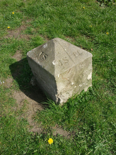
Image: © Milestone Society Taken: Unknown
Estate Boundary Marker in parish of Leyland (South Ribble District), West Paddock, in grass area, 20m from road, 25m West of junction with Roberts Close. Surveyed Milestone Society National ID: LA_LEY01em
Images are licensed for reuse under creativecommons.org/licenses/by-sa/2.0
Image Location
Latitude
53.690296
Longitude
-2.705647