Old Boundary Marker by Saddlebole, Nether Alderley Parish
Introduction
The photograph on this page of Old Boundary Marker by Saddlebole, Nether Alderley Parish by Milestone Society as part of the Geograph project.
The Geograph project started in 2005 with the aim of publishing, organising and preserving representative images for every square kilometre of Great Britain, Ireland and the Isle of Man.

There are currently over 7.5m images from over 14,400 individuals and you can help contribute to the project by visiting https://www.geograph.org.uk
Old Boundary Marker by Saddlebole, Nether Alderley Parish
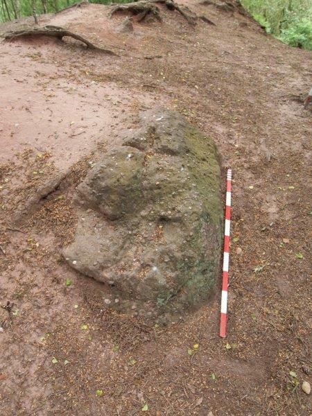
Image: © Milestone Society Taken: Unknown
Parish Boundary Marker - Saddlebole Stone in the parish of Nether Alderley (Macclesfield District), Hough, in boundary bank on ridge. Surveyed Milestone Society National ID: CH_NALOAL01pb.
Images are licensed for reuse under creativecommons.org/licenses/by-sa/2.0
Image Location
Latitude
53.299305
Longitude
-2.211222