Old Milestone by the former A548, Holywell Street, Bagillt
Introduction
The photograph on this page of Old Milestone by the former A548, Holywell Street, Bagillt by Milestone Society as part of the Geograph project.
The Geograph project started in 2005 with the aim of publishing, organising and preserving representative images for every square kilometre of Great Britain, Ireland and the Isle of Man.

There are currently over 7.5m images from over 14,400 individuals and you can help contribute to the project by visiting https://www.geograph.org.uk
Old Milestone by the former A548, Holywell Street, Bagillt
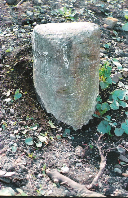
Image: © Milestone Society Taken: Unknown
By the UC road (was A548), Holywell Street, in parish of Bagillt (Flintshire District), Bagillt, at entrance to Whitefield Paddock/Cae Gwyn housing estate, South side of road. Defaced Inscription once read:- : To / (HOLYWELL) / 4 : : To / (FLINT) / 1½ MILES : Surveyed Milestone Society National ID: FLT_FLHO01.
Images are licensed for reuse under creativecommons.org/licenses/by-sa/2.0
Image Location
Latitude
53.264157
Longitude
-3.162916