Brunswick Terrace
Introduction
The photograph on this page of Brunswick Terrace by Simon Carey as part of the Geograph project.
The Geograph project started in 2005 with the aim of publishing, organising and preserving representative images for every square kilometre of Great Britain, Ireland and the Isle of Man.

There are currently over 7.5m images from over 14,400 individuals and you can help contribute to the project by visiting https://www.geograph.org.uk
Brunswick Terrace
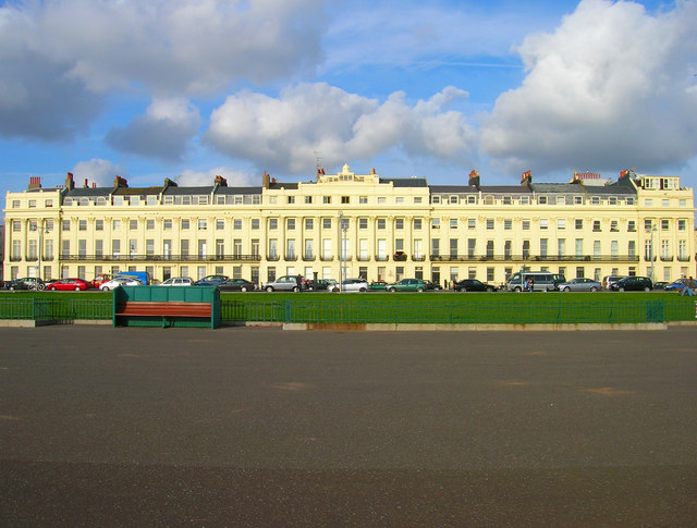
Image: © Simon Carey Taken: 4 Nov 2007
This is the western the portion that lies between Brunswick Square and Lansdowne Place. Started in 1824 by architects Amon Wilds and Charles Busby and completed in 1830 to provide high class housing for the fashionable in society.
Images are licensed for reuse under creativecommons.org/licenses/by-sa/2.0
Image Location


Leaflet Map data © OpenStreetMap
Latitude
50.823914
Longitude
-0.160651