West Parish Church on Huntly Street
Introduction
The photograph on this page of West Parish Church on Huntly Street by valenta as part of the Geograph project.
The Geograph project started in 2005 with the aim of publishing, organising and preserving representative images for every square kilometre of Great Britain, Ireland and the Isle of Man.

There are currently over 7.5m images from over 14,400 individuals and you can help contribute to the project by visiting https://www.geograph.org.uk
West Parish Church on Huntly Street
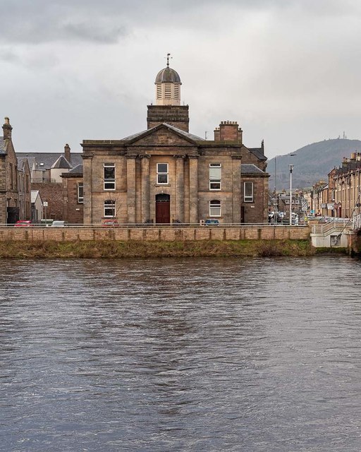
Image: © valenta Taken: 10 Jan 2019
Category B listed the church dates from 1840. The new flood defence wall can be seen above the bank of the River Ness. Dunain hill dominates the west side of Inverness, a close view of the transmitter masts here Image] https://britishlistedbuildings.co.uk/200379819-huntly-street-west-parish-church-inverness-west-ward#.XD29V2ngpaQ
Images are licensed for reuse under creativecommons.org/licenses/by-sa/2.0
Image Location
Latitude
57.478636
Longitude
-4.230592