Nos.91 and 89 Hallam Crescent East
Introduction
The photograph on this page of Nos.91 and 89 Hallam Crescent East by Roger Templeman as part of the Geograph project.
The Geograph project started in 2005 with the aim of publishing, organising and preserving representative images for every square kilometre of Great Britain, Ireland and the Isle of Man.

There are currently over 7.5m images from over 14,400 individuals and you can help contribute to the project by visiting https://www.geograph.org.uk
Nos.91 and 89 Hallam Crescent East
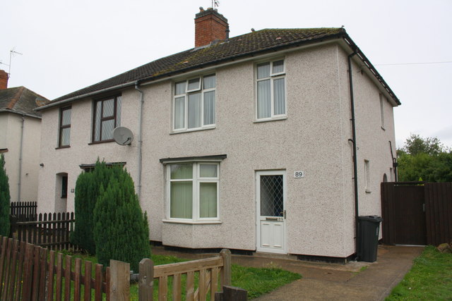
Image: © Roger Templeman Taken: 11 Sep 2018
Ordnance Survey documents indicate that in 1964 there was a cut mark benchmark levelled at 69.117m above Newlyn Datum on the side of the nearer house (#89), which is pebbledashed presumably covering the benchmark
Images are licensed for reuse under creativecommons.org/licenses/by-sa/2.0
Image Location
Latitude
52.617966
Longitude
-1.166459