Rising Sun sign, car park and pub
Introduction
The photograph on this page of Rising Sun sign, car park and pub by Derek Harper as part of the Geograph project.
The Geograph project started in 2005 with the aim of publishing, organising and preserving representative images for every square kilometre of Great Britain, Ireland and the Isle of Man.

There are currently over 7.5m images from over 14,400 individuals and you can help contribute to the project by visiting https://www.geograph.org.uk
Rising Sun sign, car park and pub
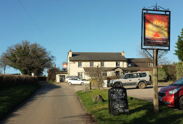
Image: © Derek Harper Taken: 9 Jan 2019
See Image; most of the pub itself is actually in Image, though the right-hand end is in square. A previous illustration on the sign is at Image The road follows the parish boundary between Woodland (left) and Denbury and Torbryan.
Images are licensed for reuse under creativecommons.org/licenses/by-sa/2.0
Image Location
Latitude
50.514637
Longitude
-3.708005