Path to Knott Fold bridge
Introduction
The photograph on this page of Path to Knott Fold bridge by Gerald England as part of the Geograph project.
The Geograph project started in 2005 with the aim of publishing, organising and preserving representative images for every square kilometre of Great Britain, Ireland and the Isle of Man.

There are currently over 7.5m images from over 14,400 individuals and you can help contribute to the project by visiting https://www.geograph.org.uk
Path to Knott Fold bridge
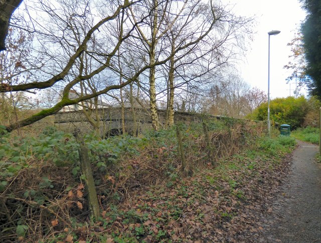
Image: © Gerald England Taken: 1 Jan 2019
At the top of the path that leads from the former Apethorn to Godley Junction railway whose route now forms part of the Trans Pennine Trail as well as Sustran's National Cycle Network Route 62 to Knott Fold bridge there is a litter bin. Some half-blind dog walkers on the trail can't be aware its existence as they don't deposit bags of their dog's poo therein but tie them to branches of trees or lob them into the undergrowth.
Images are licensed for reuse under creativecommons.org/licenses/by-sa/2.0
Image Location
Latitude
53.442295
Longitude
-2.080203