Nant Tillery, Abertillery
Introduction
The photograph on this page of Nant Tillery, Abertillery by M J Roscoe as part of the Geograph project.
The Geograph project started in 2005 with the aim of publishing, organising and preserving representative images for every square kilometre of Great Britain, Ireland and the Isle of Man.

There are currently over 7.5m images from over 14,400 individuals and you can help contribute to the project by visiting https://www.geograph.org.uk
Nant Tillery, Abertillery
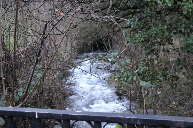
Image: © M J Roscoe Taken: 26 Dec 2018
Looking upstream at an open section of the stream before it again disappears into a culvert under Glan Ebbw Terrace (camera position).
Images are licensed for reuse under creativecommons.org/licenses/by-sa/2.0
Image Location
Latitude
51.729745
Longitude
-3.137156