Path to Fodderty
Introduction
The photograph on this page of Path to Fodderty by Richard Dorrell as part of the Geograph project.
The Geograph project started in 2005 with the aim of publishing, organising and preserving representative images for every square kilometre of Great Britain, Ireland and the Isle of Man.

There are currently over 7.5m images from over 14,400 individuals and you can help contribute to the project by visiting https://www.geograph.org.uk
Path to Fodderty
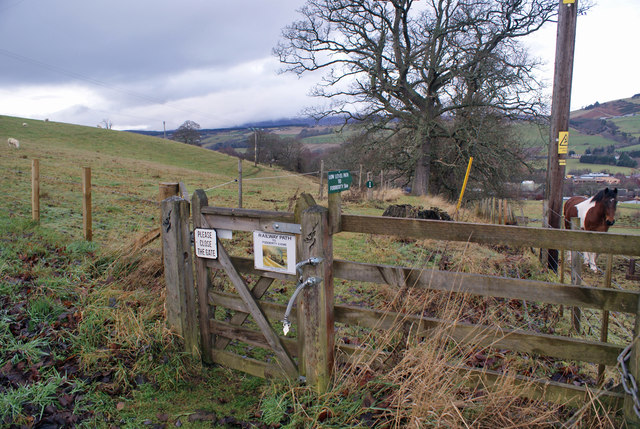
Image: © Richard Dorrell Taken: 22 Dec 2018
At the western end of Knockbain Road, this gate leads onto a path which drops down the hill to meet the railway, and then follows the railway (and former railway) to Fodderty.
Images are licensed for reuse under creativecommons.org/licenses/by-sa/2.0
Image Location
Latitude
57.596274
Longitude
-4.447823